Journey Builder
Pacific Highway California Road Trip: What to Know Before You Go
In short
A Pacific Highway California road trip usually follows Highway 1 (and stretches of US 101) along the coast from the Oregon border down to San Diego, covering roughly 650–750 miles. Most travelers take 7 to 14 days to cover the redwoods, Big Sur, the Central Coast, and Southern California without rushing. Build your schedule around daylight hours, winding cliffside roads, and seasonal closures for the smoothest trip.
A pacific highway california road trip packs in more scenic variety per mile than almost any other route in the country — fog-shrouded cliffs, wine country vineyards, surf towns, and desert-edge beaches all within a few hundred miles of each other. The hard part isn’t finding beautiful stops; it’s deciding which ones deserve a full day and which ones are better as a twenty-minute photo break on your way to the next town.
Why this route is worth the hype
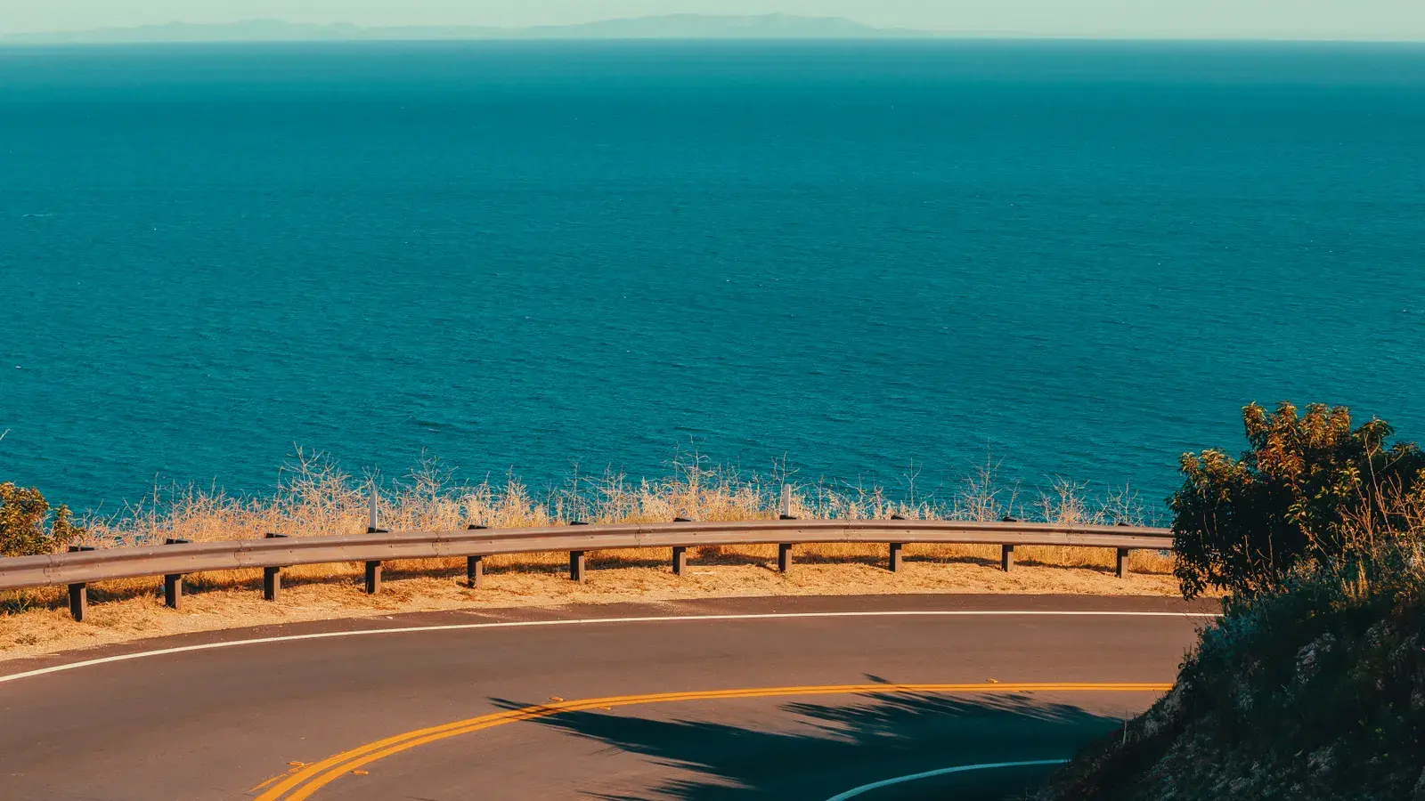
Highway 1 earns its reputation because it rarely repeats itself. One stretch hugs sheer cliffs above the Pacific, the next cuts through farmland or ducks into a small harbor town. Add in the redwood groves farther north and the beach cities farther south, and you get a drive that changes character every hour or two. That variety is also what makes planning tricky: a road that’s this scenic invites constant stopping, and without a plan, days can slip away before you’ve covered much distance at all.
Mapping out your route and timeline
How many days you need
For the full coastal stretch from the Oregon border to San Diego, two weeks lets you explore without feeling rushed. A week is workable if you pick one region — say, San Francisco to Los Angeles — and go deeper there instead of covering every mile. Travelers coming from the Pacific Northwest sometimes extend the trip further north; our Highway 101 Road Trip Washington to California guide covers that northern approach in detail.
Picking a direction and starting point
Driving south keeps you on the ocean side of the highway for most pullouts and viewpoints, which is a small but real convenience on narrow stretches. Many road trippers start in San Francisco, since it sits roughly in the middle of the route and has easy rental car and flight access, then split the drive into northbound and southbound legs on separate trips if time is tight.
The stops most road trippers build around
Northern California and the redwoods
North of San Francisco, the highway winds through Mendocino’s bluffs and the towering redwood groves near the Humboldt coast. These stretches have fewer services and slower speeds, so budget extra drive time even for short distances on the map.
Central Coast icons: Big Sur to San Luis Obispo
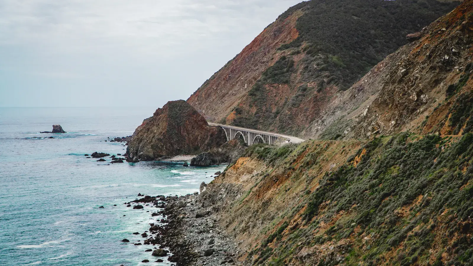
This is the section most people picture when they think of this drive — Bixby Bridge, McWay Falls, and the cliffside turnouts of Big Sur, followed by the easier cruising of the Central Coast through Cambria and San Luis Obispo. Our California Road Trip Pacific Coast Highway day-by-day guide breaks this stretch down stop by stop if you want a ready-made itinerary.
Southern California’s finish
South of Santa Barbara, the highway opens into beach towns, piers, and city traffic as you head toward Los Angeles, Orange County, and eventually San Diego. If you’re starting your trip from the southern end instead, our Pacific Coast Highway Road Trip from San Diego guide walks through that direction.
Logistics that make the trip smoother
Driving pace, daylight and curves
Highway 1’s curves mean average speeds are often much lower than the mileage suggests, especially through Big Sur. Plan driving blocks around daylight rather than distance, and leave buffer time for pullouts you didn’t know you’d want until you saw them.
Where to stay each night
Lodging along the coast books up fast in summer, particularly in Big Sur and the wine country towns. Deciding how many nights to spend at each stop — and locking those in before the rest of your plan shifts around them — saves a lot of last-minute scrambling once you’re actually on the road.
Letting Journey Builder handle the logistics
Once you know roughly where you want to stop, the planning turns into a lot of arithmetic: drive times, opening hours, how many nights each town deserves, and whether your evening reservation is even reachable from where you’ll be that afternoon. Journey Builder builds the route automatically, ranks towns along the way so you can see how far off-route a detour really is, and turns your picks into a day-by-day schedule that accounts for sunrise, sunset, and drive times — while still letting you choose the roads and stops yourself. For other coastal and cross-country itineraries, our road trips page is a good place to start browsing.
Pre-registrations
Ready to plan your road trip?
Sign up for Journey BuilderPlan your next road trip with Journey Builder
It works out the route, finds the stops worth making and lays out every day. Sign up and plan your first trip today.