Journey Builder
Quick answer
How Far From Phoenix to the Grand Canyon? Distance, Drive Time, and Stops Along the Way
How far from Phoenix to the Grand Canyon? The fastest route covers 391 km / 243 mi, about 4 h 20 min of driving without stops. Here's the full route.
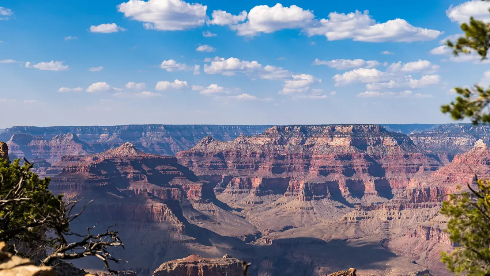
How Far From Phoenix to the Grand Canyon?

If you’re asking how far from Phoenix to the Grand Canyon, the fastest route runs 391 km / 243 mi and takes about 4 h 20 min of driving without stops. That’s the straight run north on the fastest available roads, not counting gas stops, meals, or time at the overlooks along the way. Most drivers break the trip into pieces rather than doing it in one push, since the towns along the route make for good stopping points and some genuinely worthwhile detours.
The drive, leg by leg
| Leg | Distance | Drive time |
|---|---|---|
| Phoenix to Camp Verde | 92 mi / 148 km | 1 h 20 min |
| Camp Verde to Sedona | 29 mi / 47 km | 35 min |
| Sedona to Flagstaff | 30 mi / 48 km | 45 min |
| Flagstaff to Williams | 34 mi / 54 km | 30 min |
| Williams to Tusayan | 53 mi / 84 km | 50 min |
| Tusayan to Grand Canyon Village | 6 mi / 10 km | 10 min |
| Total | 244 mi / 391 km | 4 h 10 min |
Drive times without stops or traffic, to the nearest 5 minutes. Routing by Geoapify · map data © OpenStreetMap contributors.
The Route, Leg by Leg
The fastest way from Phoenix to Grand Canyon Village runs through a string of small towns, each with its own character. Here’s how the drive breaks down:
- Phoenix to Camp Verde: 148 km / 92 mi, about 1 h 20 min
- Camp Verde to Sedona: 47 km / 29 mi, about 35 min
- Sedona to Flagstaff: 48 km / 30 mi, about 45 min
- Flagstaff to Williams: 54 km / 34 mi, about 30 min
- Williams to Tusayan: 84 km / 53 mi, about 50 min
- Tusayan to Grand Canyon Village: 10 km / 6 mi, about 10 min
Add those legs together and you get the full 391 km / 243 mi, about 4 h 20 min of driving without stops. Breaking the trip up this way also makes it easy to decide where you’ll actually get out of the car.
What’s Worth a Stop Along the Way
Phoenix itself is worth a day or two before you head out. It’s a sprawling desert city with a mix of desert-preserve hiking, museums, and warm-weather charm; the Desert Botanical Garden, the Heard Museum, and the Phoenix Zoo are common first picks for visitors settling in before a longer trip north.
Camp Verde is a small, quiet town best known for its proximity to Montezuma Castle National Monument. If you have time to get off the highway, Fort Verde State Historic Park and a couple of small local wineries, including Clear Creek Vineyard & Winery and Salt Mine Wine, make for an easy detour.
Sedona is the leg most travelers plan extra time around. Its red rock formations, art galleries, and hiking trails draw people in for a half-day or more. Cathedral Rock Viewpoint, Devil’s Bridge, and the Tlaquepaque Arts & Crafts Village are frequent stops, along with the Palatki Heritage Site for those interested in the area’s older history.
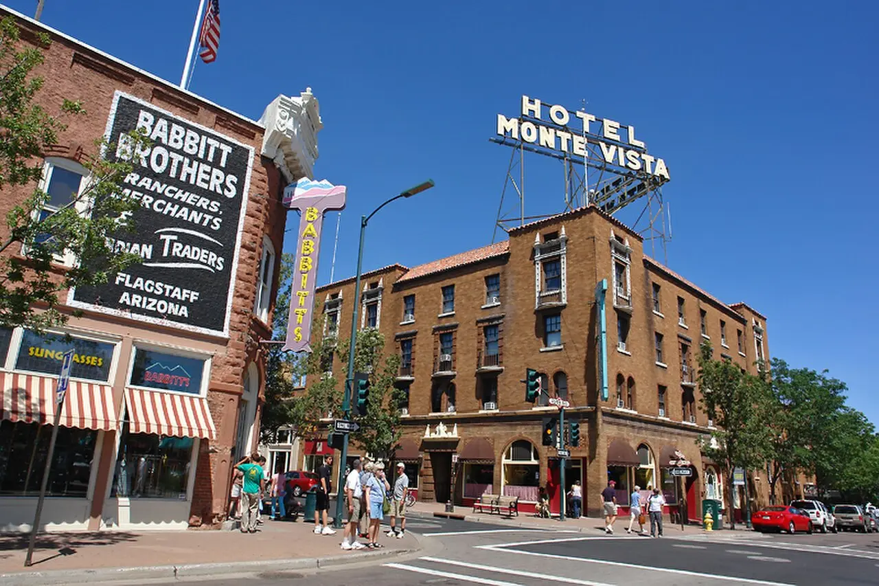
Flagstaff, at higher elevation and cooler than the desert floor, is a natural overnight stop for travelers who want to split the drive into two easier days rather than one long one.
Williams and Tusayan are the last two towns before the park entrance itself, both set up to serve Grand Canyon visitors with lodging, food, and gas before the final short stretch to Grand Canyon Village.
A Slower Alternative (and Why It’s Not Usually Worth It)
There’s also a route that uses fewer highways, covering 644 km / 400 mi in about 8 h 55 min — roughly double the driving time for a trip covering only about 65% more distance. Unless you have a specific reason to avoid highways, the fastest route above is the practical choice for getting from Phoenix to the Grand Canyon.
Good to know
The drive breaks into six legs — Phoenix to Camp Verde to Sedona to Flagstaff to Williams to Tusayan to Grand Canyon Village.
Tip
Journey Builder can rank towns along this route and suggest how many nights to spend at each stop.
Turning the Drive Into a Trip
Knowing the distance and drive time is the easy part. The harder part is deciding how many nights to spend in Sedona versus Flagstaff, whether Camp Verde is worth a detour, and what to do once you’re actually at the park. This is where a tool like Journey Builder fits in: it builds the route automatically with the distance and drive time for every leg, ranks the towns along the way and suggests stops, and shows how far off-route any detour would take you. It also suggests how many nights to spend at each stop and can turn your picks into a day-by-day schedule that accounts for opening hours, daylight, and how far you can realistically drive in a day. For a route with this many good side trips, that kind of planning help turns “how far is it” into an actual itinerary.
Practical Notes for the Drive
Elevation changes a lot along this route — Phoenix sits in the low desert while Flagstaff and the Grand Canyon rim are considerably higher, so weather and temperature can shift quickly from one leg to the next. Give yourself buffer time beyond the raw driving figures above for gas, food, and the inevitable stop to photograph a red rock formation or canyon overlook. And if you’re planning to hike or catch sunset at the rim, check daylight hours for your travel dates before you finalize how much driving you’ll fit into a single day.
Ready to Plan the Drive?
If you’re mapping out the Phoenix-to-Grand Canyon drive with stops in Sedona, Flagstaff, or anywhere else along the way, Journey Builder turns that idea into a real day-by-day plan — routes, drive times, stops, and scheduling included. Pre-registrations are open now at https://journeybuilder.app/pre-register.
In this series
- Planning a Road Trip from Phoenix to Grand Canyon
- How Far From Phoenix to the Grand Canyon? Distance, Drive Time, and Stops Along the Way
- The Best Time to Drive from Phoenix to Grand Canyon
- Things to See Between Phoenix and Grand Canyon
- The Best Route from Phoenix to Grand Canyon: A Full Drive Guide
Plan your next road trip with Journey Builder
It works out the route, finds the stops worth making and lays out every day. Pre-register and we'll email you as soon as your account is ready.