Journey Builder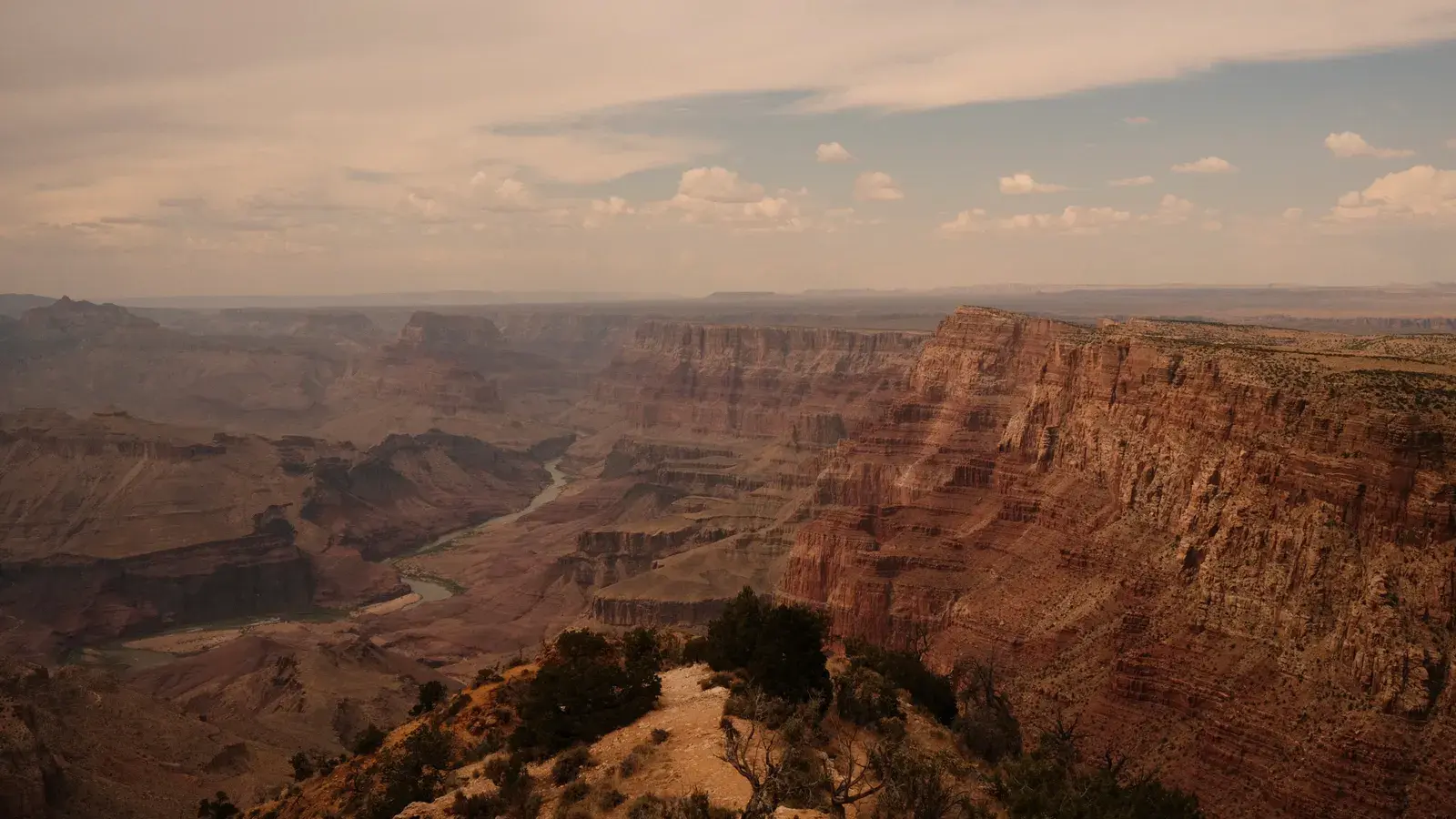
The best route from Phoenix to Grand Canyon covers about 391 km (243 mi) and takes roughly 4 h 20 min of driving without stops, heading north through a string of Arizona towns before reaching the canyon rim. It’s a drive that rewards the trip itself, not just the destination, so it’s worth knowing exactly what’s ahead before you go.
The drive, leg by leg
| Leg | Distance | Drive time |
|---|---|---|
| Phoenix to Camp Verde | 92 mi / 148 km | 1 h 20 min |
| Camp Verde to Sedona | 29 mi / 47 km | 35 min |
| Sedona to Flagstaff | 30 mi / 48 km | 45 min |
| Flagstaff to Williams | 34 mi / 54 km | 30 min |
| Williams to Tusayan | 53 mi / 84 km | 50 min |
| Tusayan to Grand Canyon Village | 6 mi / 10 km | 10 min |
| Total | 244 mi / 391 km | 4 h 10 min |
Drive times without stops or traffic, to the nearest 5 minutes. Routing by Geoapify · map data © OpenStreetMap contributors.
Why This Is the Best Route from Phoenix to Grand Canyon

There are two broad ways to make this drive: the fastest route through the towns listed below, or a route that avoids highways in favor of smaller roads. The fastest route is 391 km (243 mi) and about 4 h 20 min. The route with fewer highways stretches to 644 km (400 mi) and about 8 h 55 min — roughly 107% longer. For a one-day trip to the Grand Canyon, that extra time makes the backroads option impractical. The highway route below is the one most drivers should plan around.

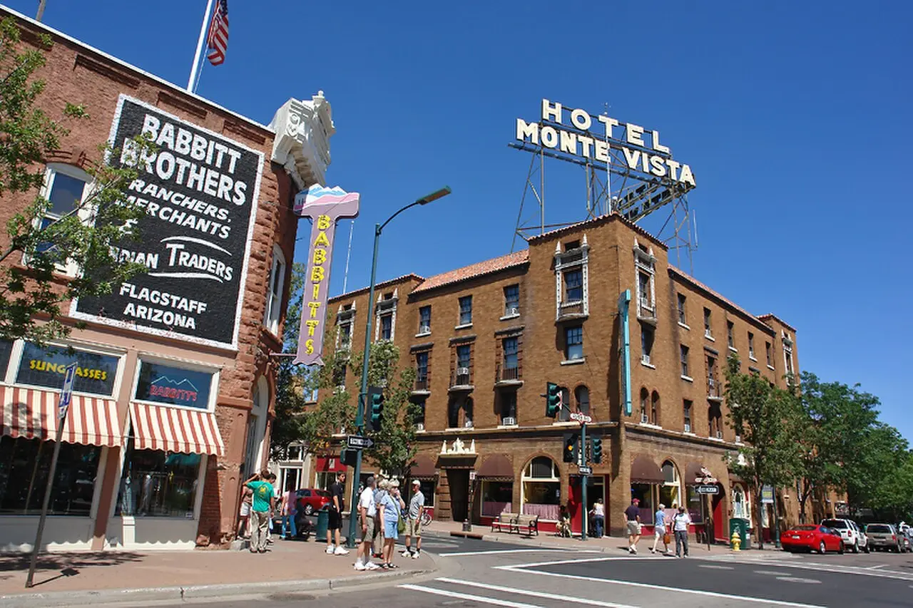
Photo: DPPed, CC BY-SA 3.0, via Wikimedia Commons
The Drive, Town by Town
Starting in Phoenix, the route runs north through Camp Verde, Sedona, Flagstaff, Williams, and Tusayan before ending at Grand Canyon Village. Phoenix itself is a sprawling desert city with a strong food scene, museums, and mountain preserves right at the edge of town — worth a morning before you leave if you have the time. Sights like the Desert Botanical Garden and the Heard Museum sit close to downtown and make an easy pre-departure stop.
Phoenix to Camp Verde: 148 km (92 mi), about 1 h 20 min. Camp Verde is a small town known for historic sites and its closeness to nearby natural parks. Fort Verde State Historic Park is one of the local landmarks worth a short detour if you’re stretching your legs.
Camp Verde to Sedona: 47 km (29 mi), about 35 min. Sedona is the visual highlight of the drive, known for its red rock formations, art galleries, and outdoor activities. The Cathedral Rock Viewpoint is a classic photo stop, and Tlaquepaque Arts & Crafts Village is worth a slow walk if you want to break up the driving with something on foot.
Sedona to Flagstaff: 48 km (30 mi), about 45 min. Flagstaff sits at a higher elevation than the desert towns behind you, and the shift in scenery — pine forest instead of red rock — is one of the more noticeable changes on the drive.
Flagstaff to Williams: 54 km (34 mi), about 30 min. Williams is a small gateway town along the route, often used as a rest stop before the final stretch.
Williams to Tusayan: 84 km (53 mi), about 50 min. This is the longest single leg after leaving Phoenix, and it’s the final approach into the Grand Canyon area.
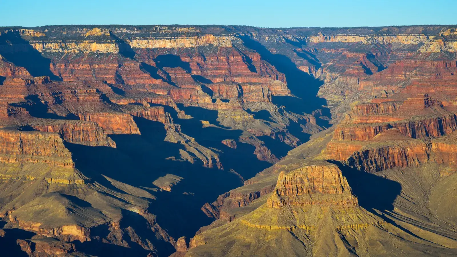
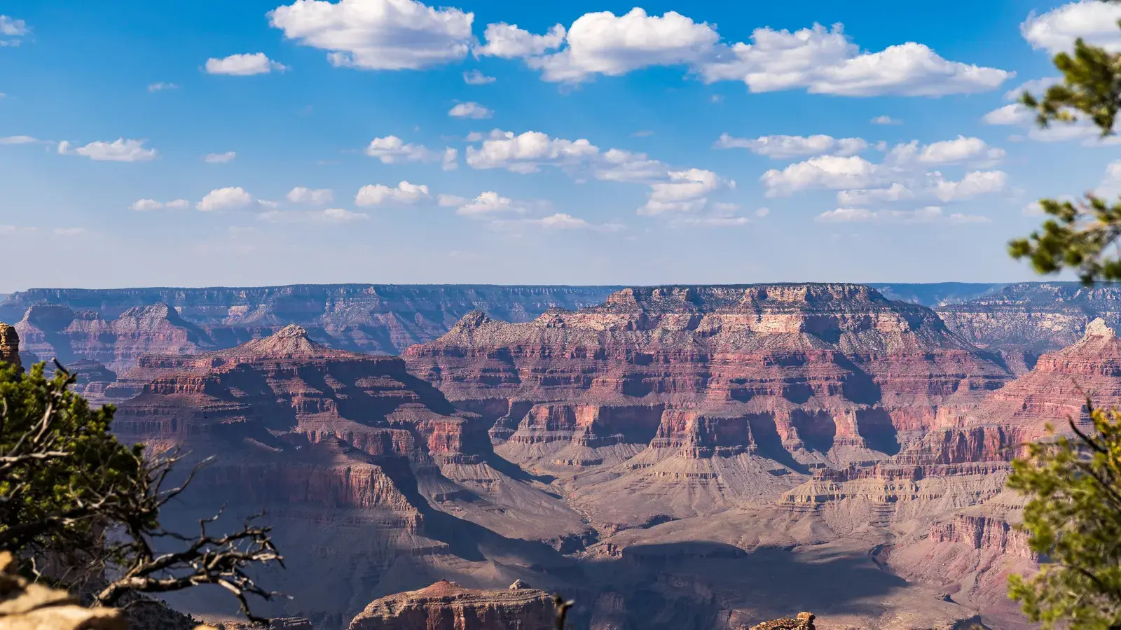
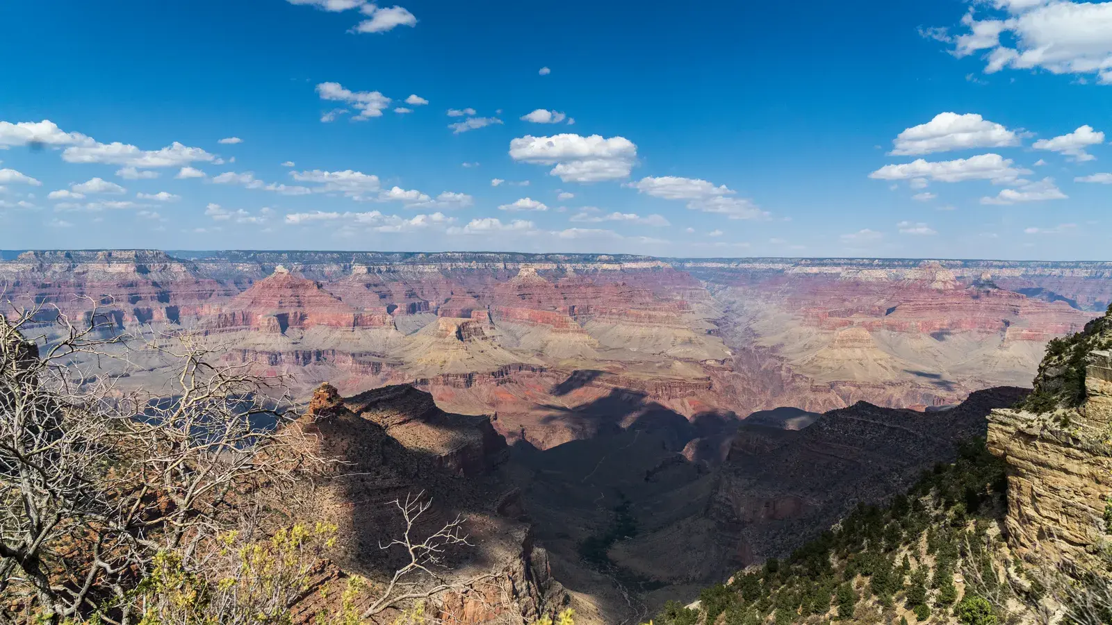
Tusayan to Grand Canyon Village: 10 km (6 mi), about 10 min. A short last leg that brings you to the rim itself.
Practical Tips for the Drive
All the drive times above are without stops, so build in extra time for gas, food, and photo breaks — especially through Sedona, where it’s tempting to pull over often. Grand Canyon Village and the surrounding area sit at a much higher elevation than Phoenix, so expect cooler temperatures and, depending on the season, the possibility of snow or ice on the final stretch. If you’re aiming to catch sunrise or sunset at the rim, check daylight and golden hour times for your travel dates before you lock in a schedule, since they shift throughout the year and affect when the light is best for viewing.
Tip
Journey Builder ranks the towns along your route and shows how much of a detour each one adds.
Good to know
Journey Builder shows each day's sunrise, sunset, and daylight window, useful for timing a canyon viewpoint around golden hour.
Where Journey Builder Fits In
Planning a multi-stop drive like this one by hand means juggling several map tabs, drive-time estimates, and opening hours at once. Journey Builder builds the route for you automatically, showing the distance and drive time for every leg along with alternative routes, so you can see at a glance how a highway route compares to a scenic backroads option. It also ranks the towns along your route and shows whether each one is right on your path or how far off it sits and how much of a detour it adds — useful for deciding whether a stop in Camp Verde or a longer look around Sedona is worth the extra time. Once you’ve picked your stops, the auto-scheduler turns them into a day-by-day plan around your wake-up and bedtime, drive times, and meals, and it shows each day’s sunrise, sunset, and daylight window, which matters if you’re timing a canyon viewpoint around golden hour.
Plan the Rest of Your Trip
Working out the driving is only part of planning a trip like this. Turning it into a real day-by-day itinerary — with stops, meals, places to stay, and a schedule that actually holds up — is where Journey Builder takes a vague idea and turns it into a trip you can take. Pre-register now to get your next road trip planned right.
In this series
- Planning a Road Trip from Phoenix to Grand Canyon
- How Far From Phoenix to the Grand Canyon? Distance, Drive Time, and Stops Along the Way
- The Best Time to Drive from Phoenix to Grand Canyon
- Things to See Between Phoenix and Grand Canyon
- The Best Route from Phoenix to Grand Canyon: A Full Drive Guide
Plan your next road trip with Journey Builder
It works out the route, finds the stops worth making and lays out every day. Pre-register and we'll email you as soon as your account is ready.